Mapping the Future

Our Services

Land, cadastre, topographic and engineering surveys — plus GIS, remote sensing, EIA and physical planning.

Land Survey

Complete land administration support — from official searches and field verification to title processing and registry documentation.
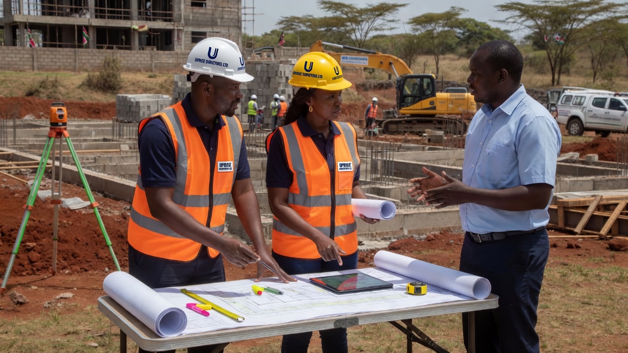
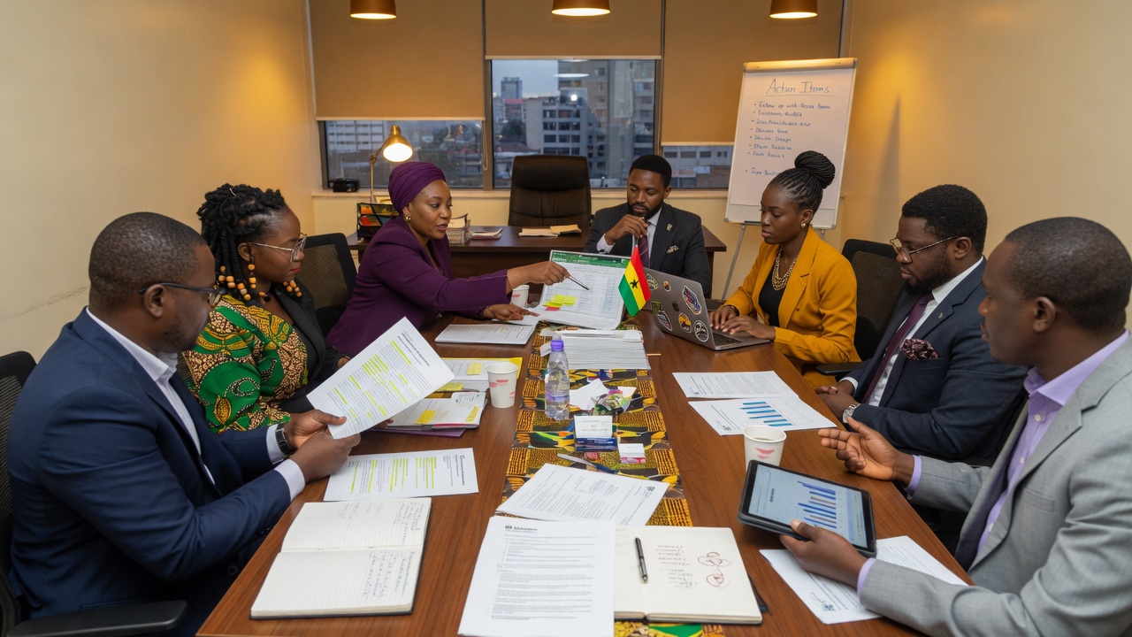
Team consultation on land survey maps
Land & title consultation
Professional team discussion
Team discussion
  • Official land search
  • LCB booking and preparation
  • Land subdivision and planning
  • ArdhiSasa ID generation and updates
  • Registration of new numbers and new green card generation
  • Title processing and title deed balance generation
  • Replacement of old titles
  • Caution registration and removal
  • Ground checking and area confirmation
  • Boundary dispute resolution
  • Amalgamation, re-parcellation, partitioning and change of common boundary
  • RL 39 processing
  • RL 42 processing
  • Transfer processing and documentation approvals
  • Preparation of documents for valuation

Cadastre Survey

Precise parcel definition and cadastral mapping using total stations and GNSS for registration, subdivision and land records that hold up in the registry.

Cadastral survey map
Cadastral mapping
Experts reviewing parcel plans
Plan review consultation
  • Cadastral boundary surveys
  • Parcel mapping and plan preparation
  • Support for fixed and general boundaries
  • Coordination with land registration processes

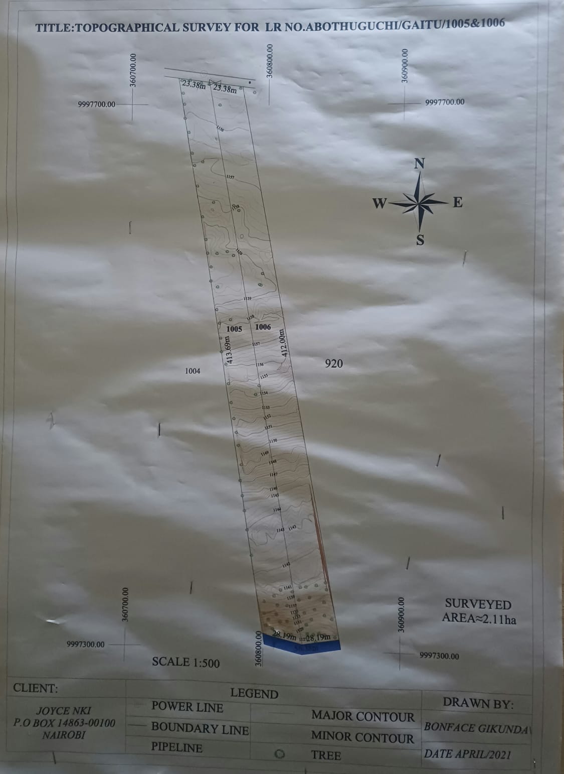
Topographic Survey

Detailed mapping of terrain, elevations and natural or built features for design, planning, earthworks and site development.

Topographic survey completed
Topographic survey sample
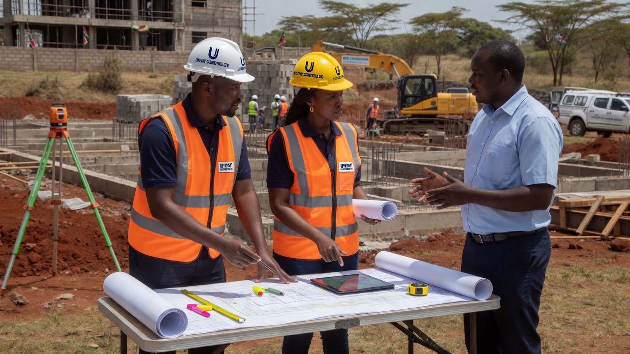
Team discussion on survey deliverables
Team discussion
  • Contour and elevation surveys
  • Feature and detail pick-up
  • Site plans for architects and engineers
  • Digital mapping deliverables

Engineering Survey

Construction and infrastructure support — setting out, control networks and as-built surveys for roads, buildings and civil works.

Site consultation for engineering survey
Site consultation
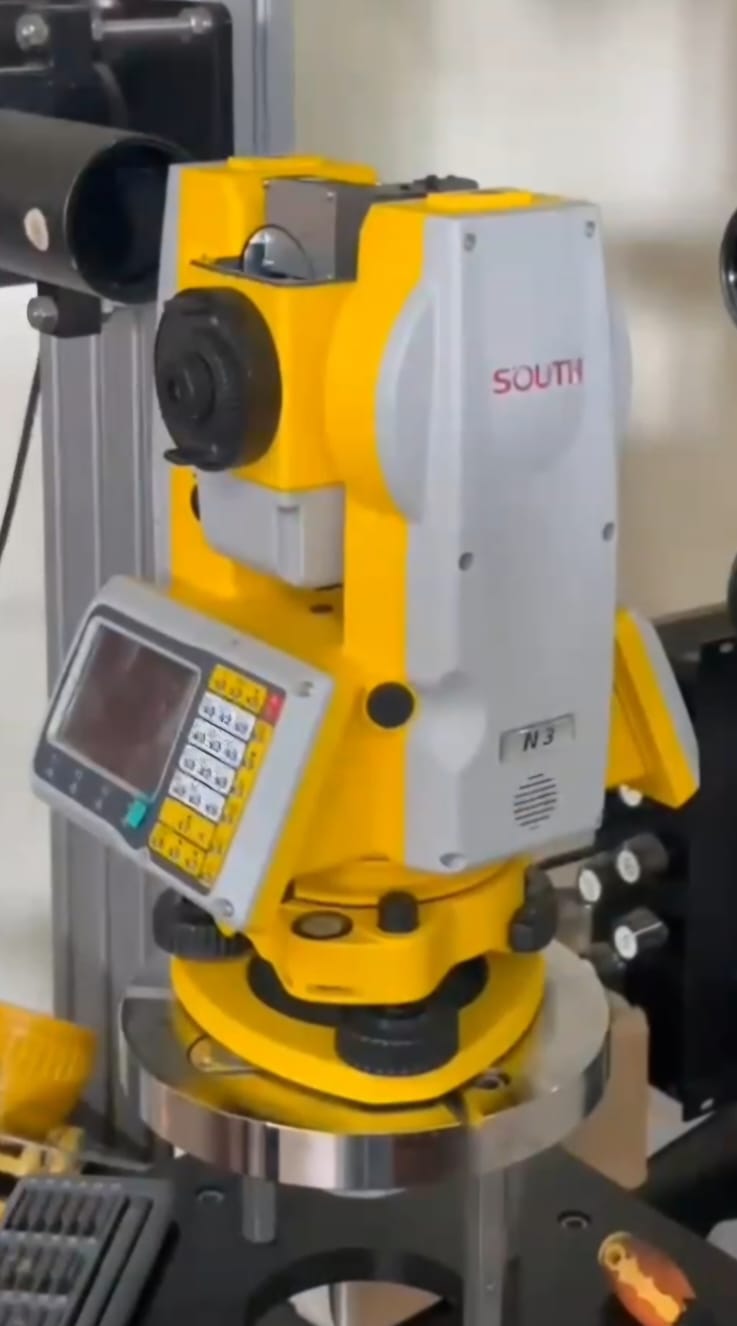
Total station for engineering survey
Total station on site
  • Setting out and site layout
  • Construction control and monitoring
  • Alignment and level surveys (dumpy levels)
  • As-built documentation

GIS & Remote Sensing Analysis

Spatial data analysis and remote sensing interpretation to support land management, planning, environmental review and decision-making.

GIS and spatial data consultation
Spatial data consultation
Team discussing mapping analysis
Analysis workshop
  • GIS mapping and spatial analysis
  • Remote sensing data interpretation
  • Thematic maps and project visualisation
  • Data support for planning and EIA

EIA & Physical Planning

Environmental impact assessment support and physical planning services for orderly, compliant and sustainable development.

Planning consultation over drawings
Planning consultation
Professionals in planning discussion
Stakeholder discussion
  • EIA-related survey and mapping support
  • Physical planning input and documentation
  • Site analysis for development proposals
  • Coordination with planning and environmental processes

Equipment for Reliable Results

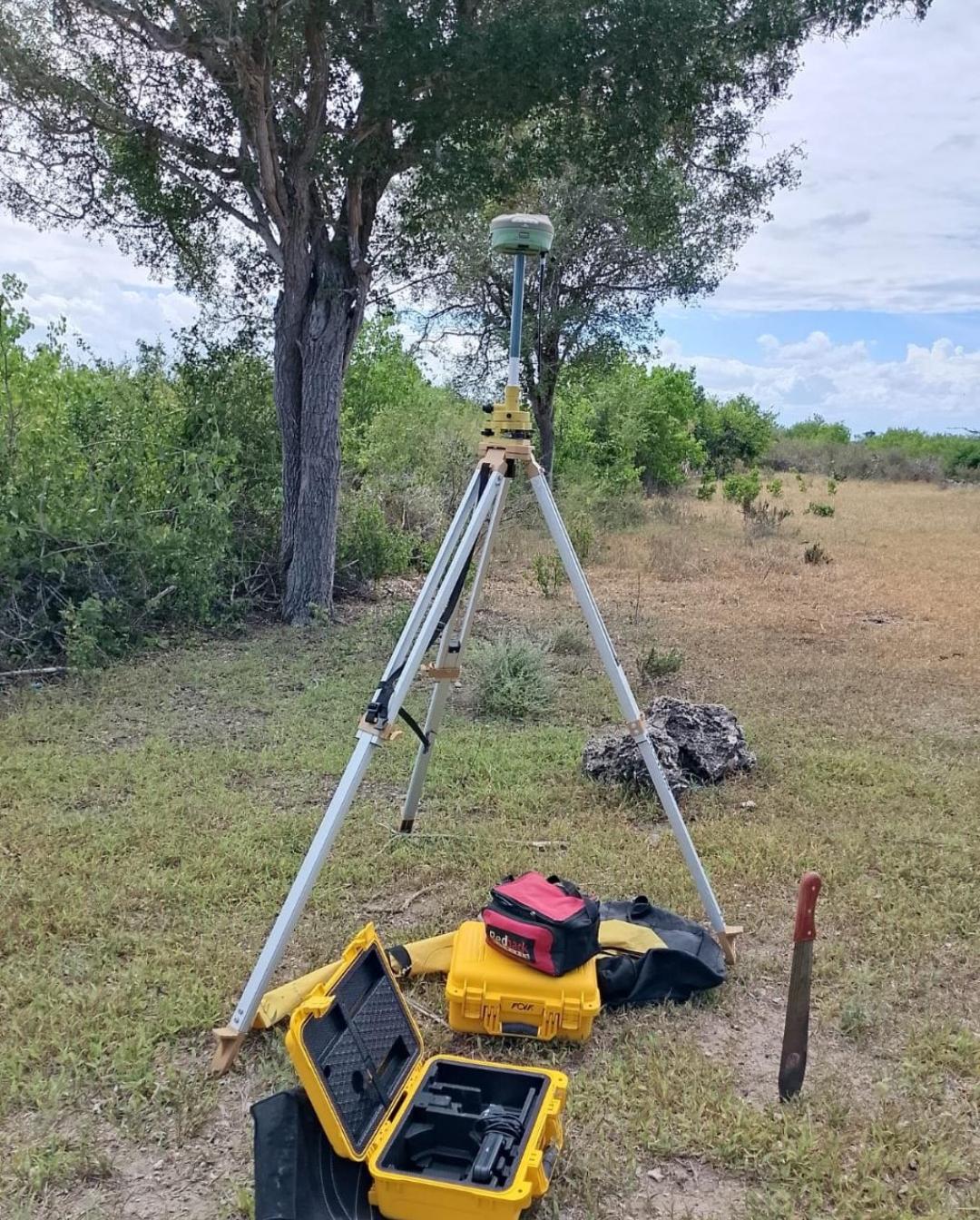
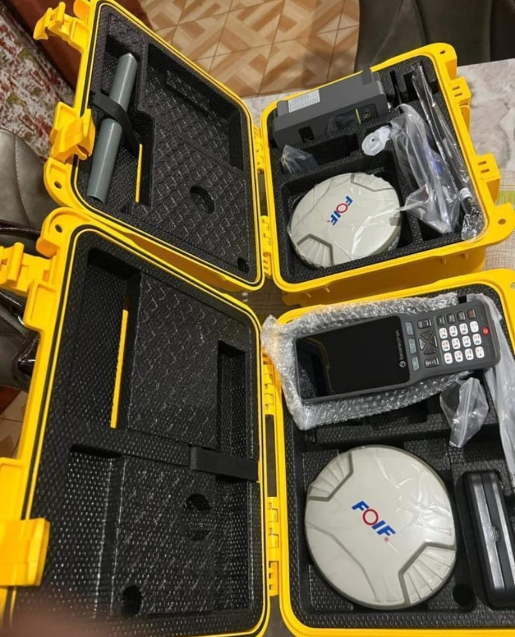
RTK GNSS base station setup

RTK / GNSS Setup

Accuracy up to ±3 mm for fixed and general boundaries.

±3 mm
Total station

Total Station

Primary tool for cadastre and precise engineering surveys.

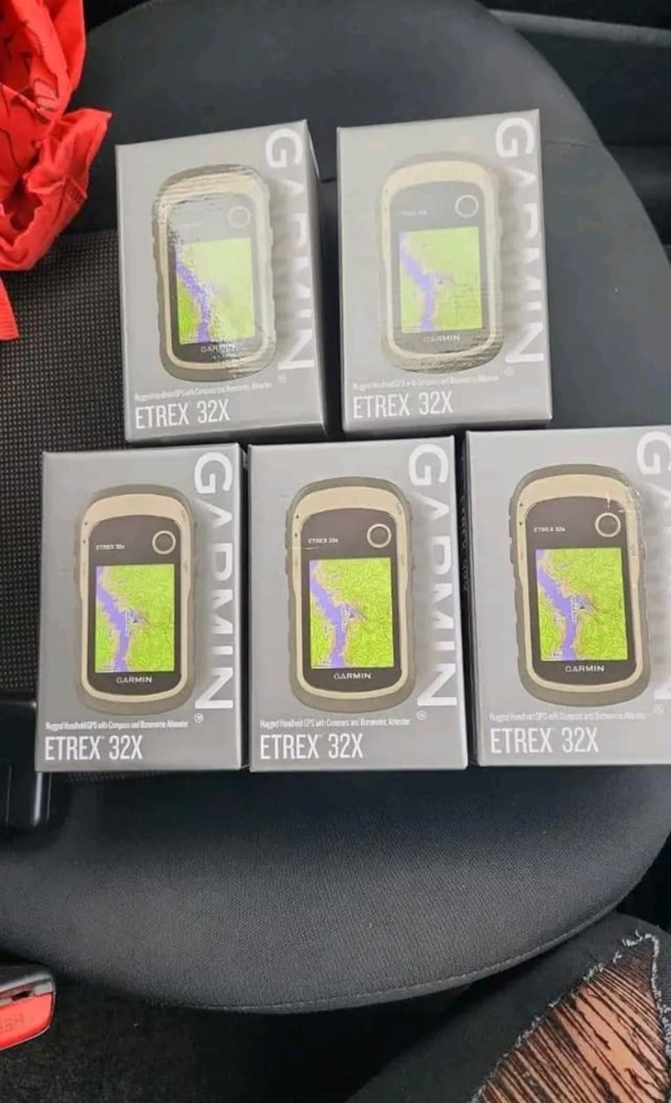
Handheld GPS

Handheld GPS

Field navigation and rapid coordinate capture.

RTK rover in the field

RTK Rover

Rover GNSS for boundary pick-up and ground control.

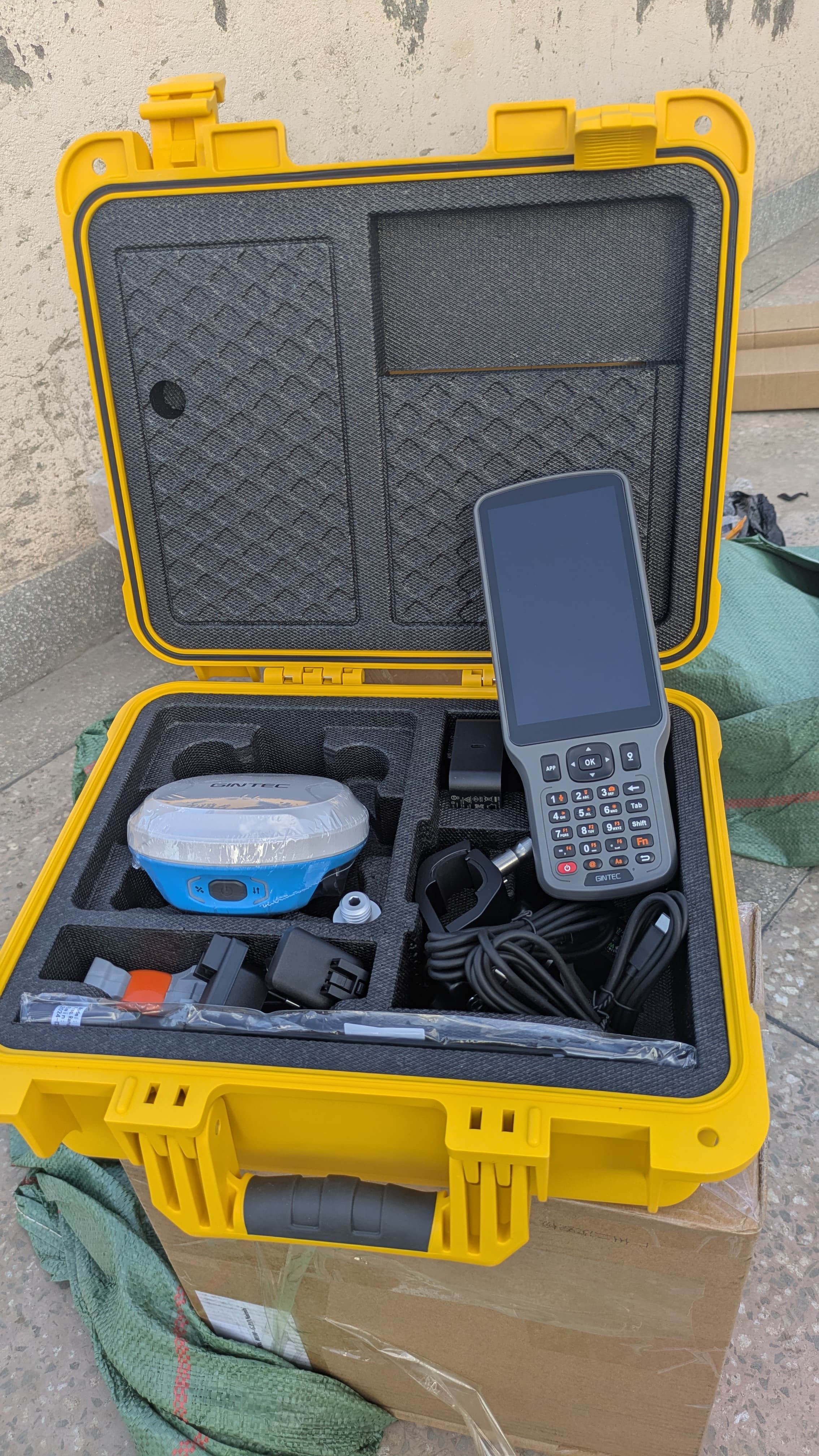
RTK field equipment

RTK Field Work

Survey-grade instruments for parcel and engineering control.

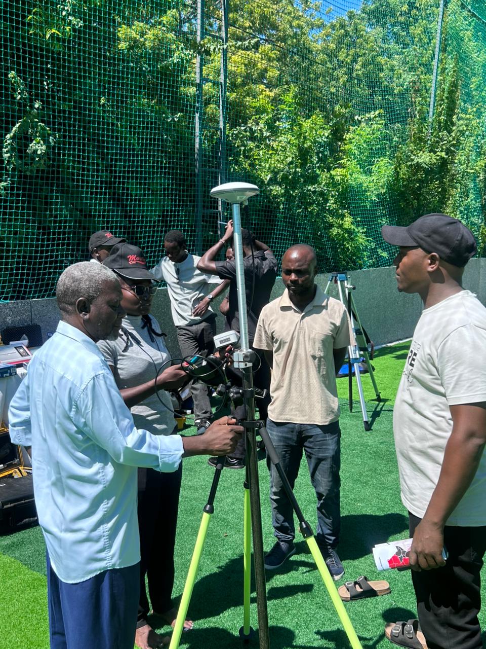
On-site survey demonstration

On-Site Demonstration

Live field operations, training and set-out support.

Need a Specific Service?

Tell us about your parcel or project — we will recommend the right scope and next steps.

WhatsApp