
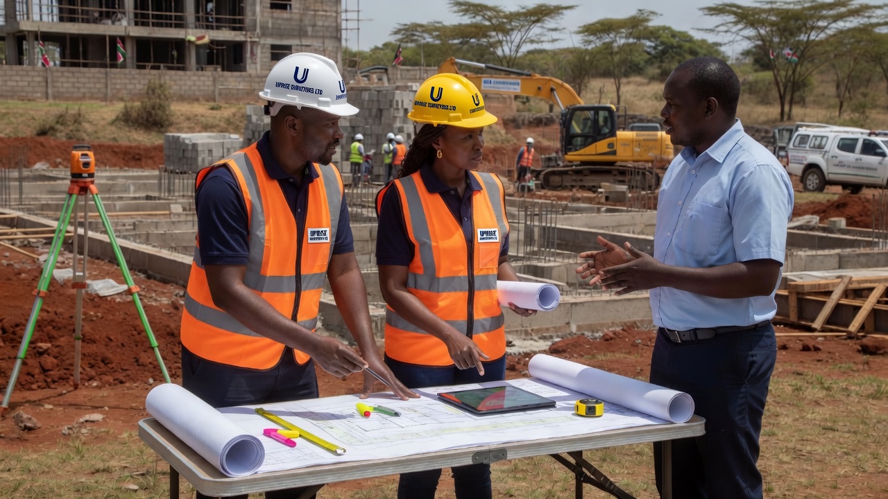
Land Survey
Official searches, LCB booking, subdivision, title processing, ArdhiSasa IDs, boundary resolution and full registry documentation.
View all land services →Mapping the Future
Uprise Surveyors Ltd delivers accurate land survey, cadastre, topographic and engineering surveys, GIS analysis, EIA and physical planning — backed by RTK/GNSS precision of up to ±3 mm.
From title processing and subdivision to engineering set-outs and GIS — we equip every project with professional instruments and licensed expertise.
Comprehensive surveying and geospatial solutions for landowners, developers, institutions and government agencies across Kenya.
Official searches, LCB booking, subdivision, title processing, ArdhiSasa IDs, boundary resolution and full registry documentation.
View all land services →
Cadastral mapping and parcel definition using total stations and GNSS for reliable registration and title security.
Learn more →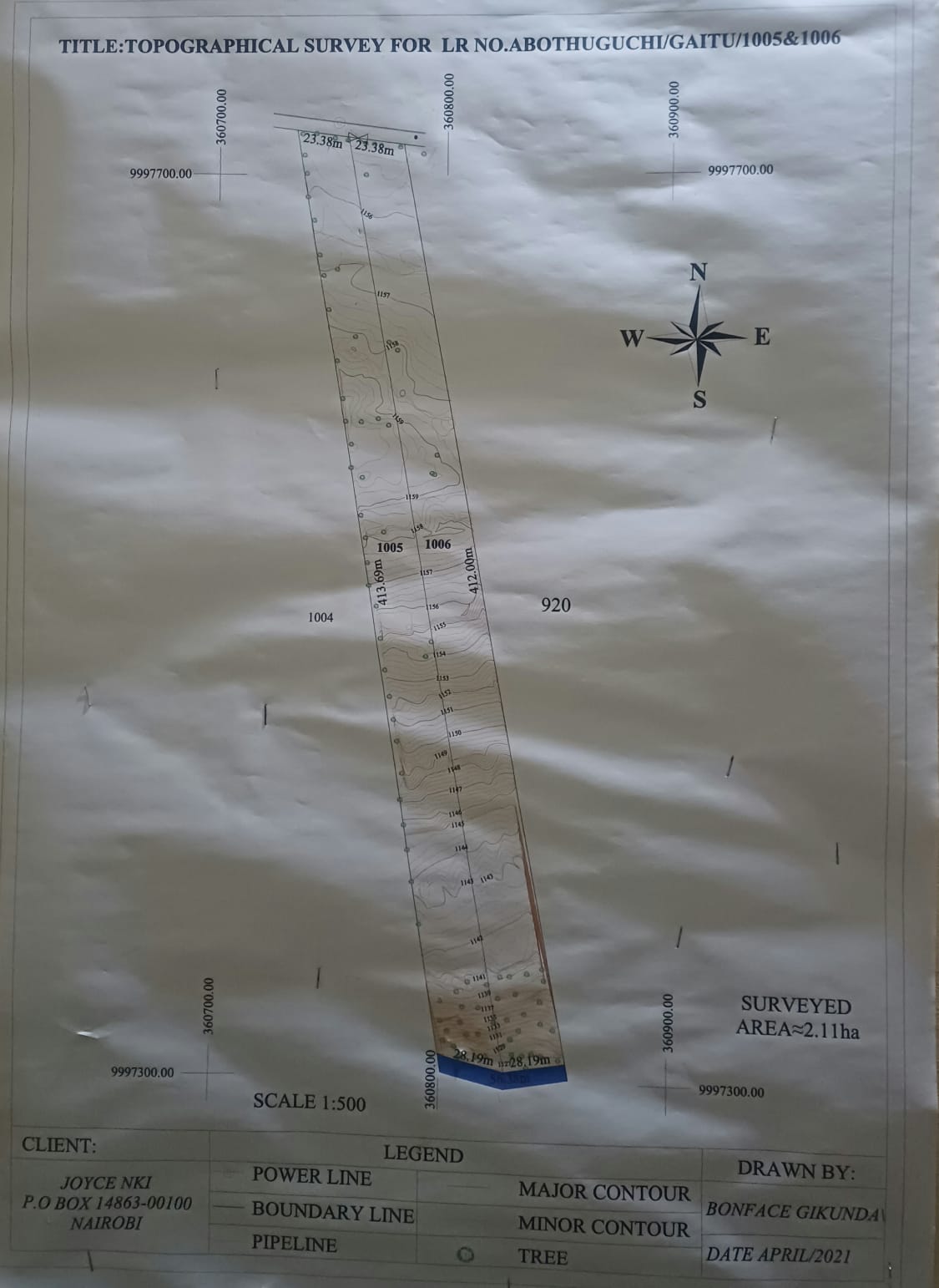
Detailed terrain mapping, contours and feature surveys for design, planning and construction decision-making.
Learn more →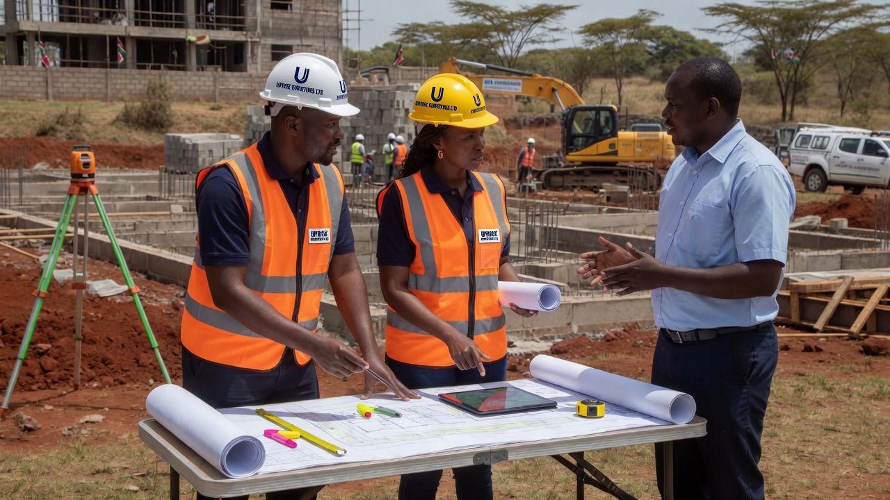
Setting out, construction control, as-built surveys and alignment works for roads, buildings and infrastructure.
Learn more →
Spatial analysis, mapping products and remote sensing interpretation to support planning and land management.
Learn more →
Environmental impact assessment support and physical planning services for sustainable, compliant development.
Learn more →Whether you need an official land search, subdivision, title deed processing or boundary dispute resolution, our team handles the full chain — field work, documentation and registry procedures — with accuracy and care.
We work with ArdhiSasa systems, LCB bookings, RL 39 / RL 42 processes, transfers, cautions and valuation-ready packages so your land transactions stay on track.
Full Land Services ListWe invest in professional survey technology so every measurement, set-out and boundary is reliable and defensible.
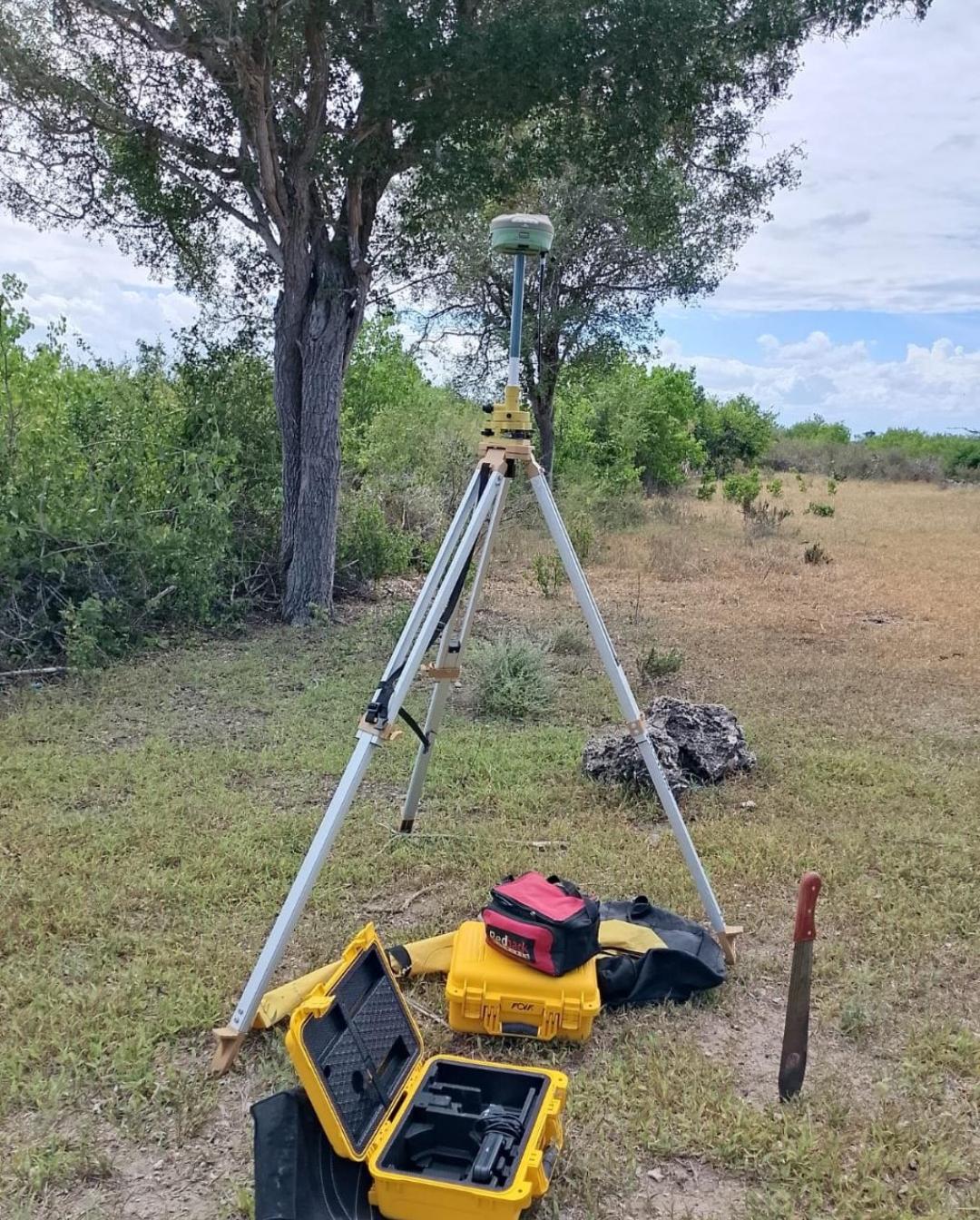
Field RTK base and rover setup for fixed and general boundary surveys.
Up to ±3 mm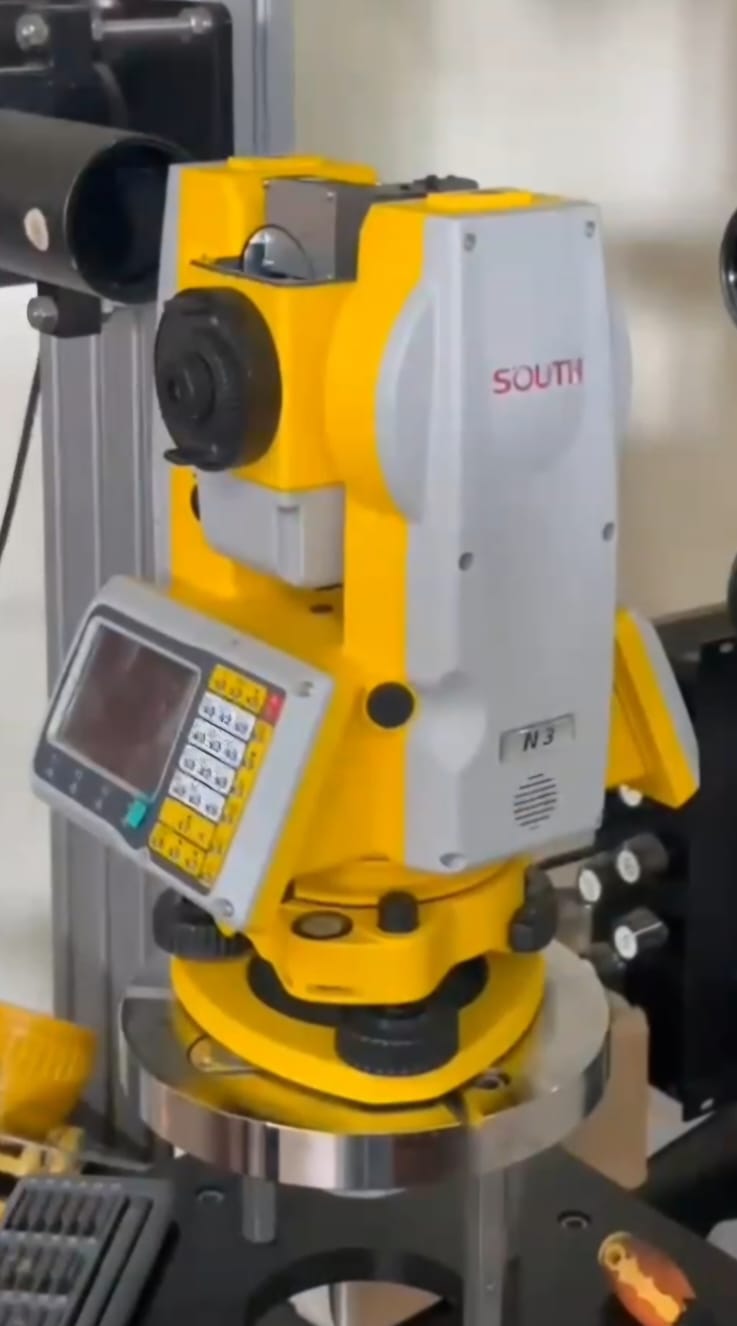
High-precision angle and distance measurement for cadastre and engineering work.
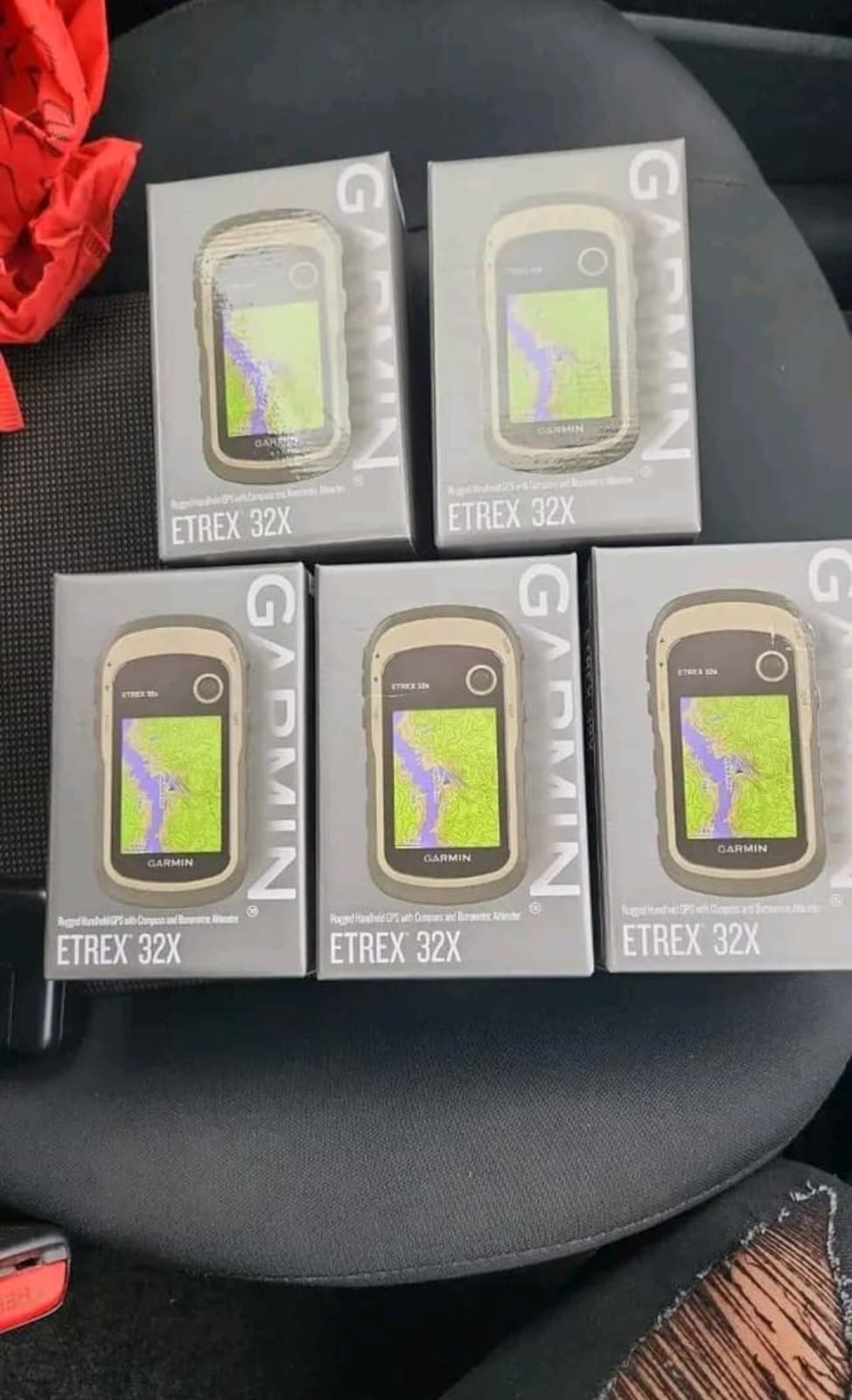
Field navigation, reconnaissance and rapid position capture on site.
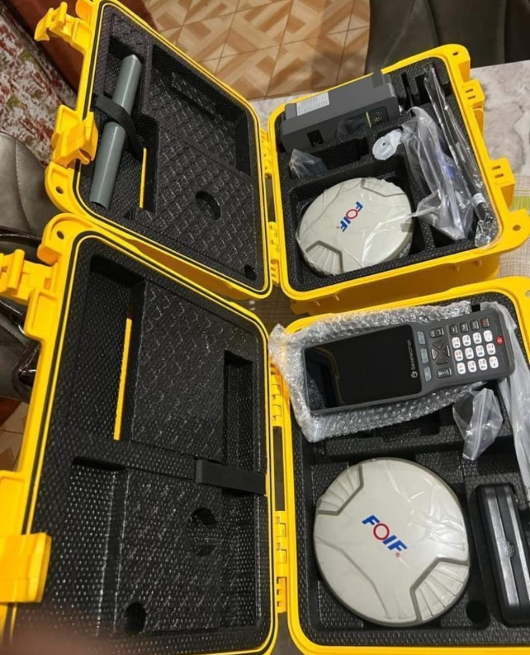
Rover-mounted GNSS for boundary pick-up and precise ground control.
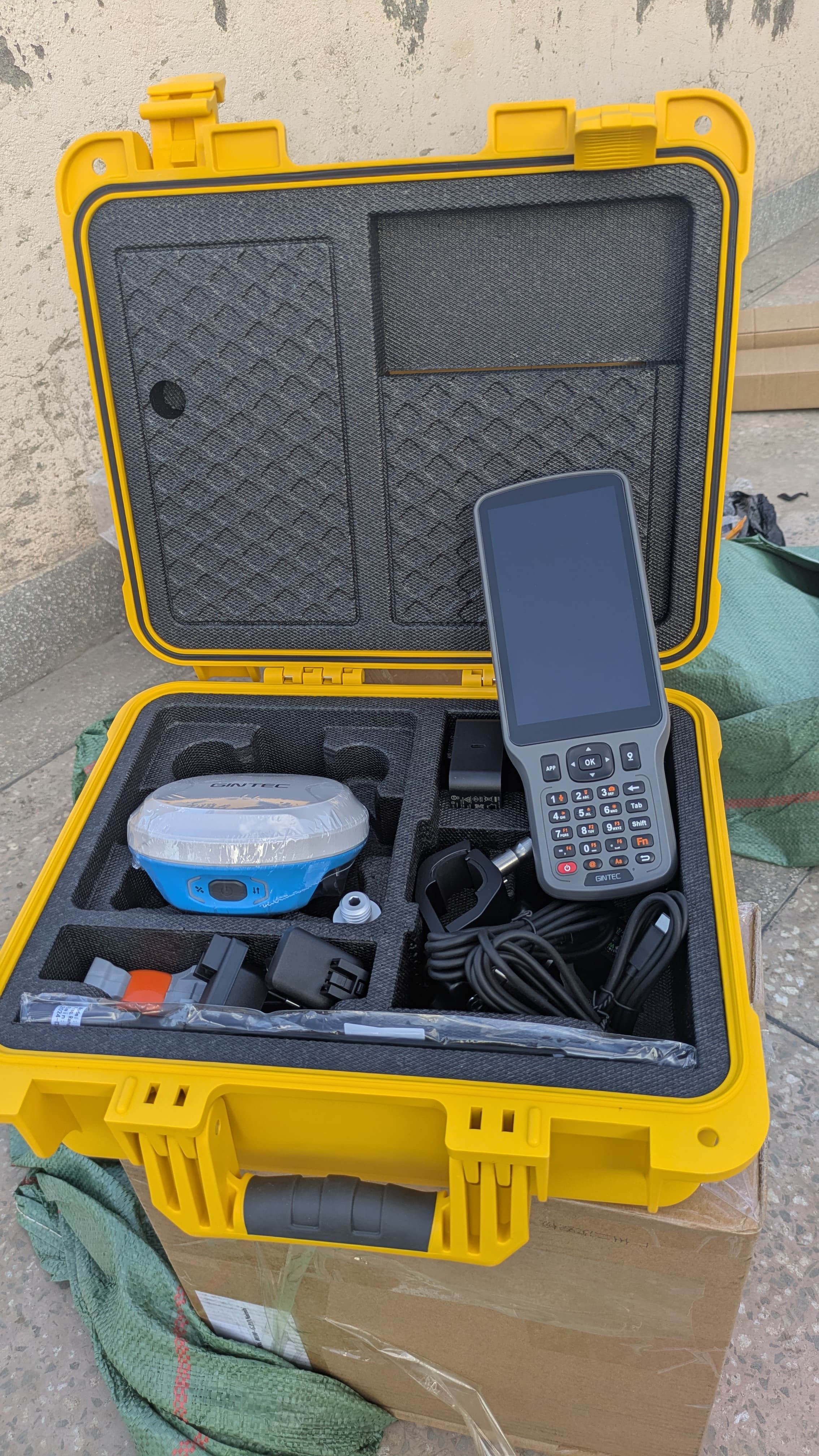
Survey-grade GNSS instruments for accurate parcel and engineering control.
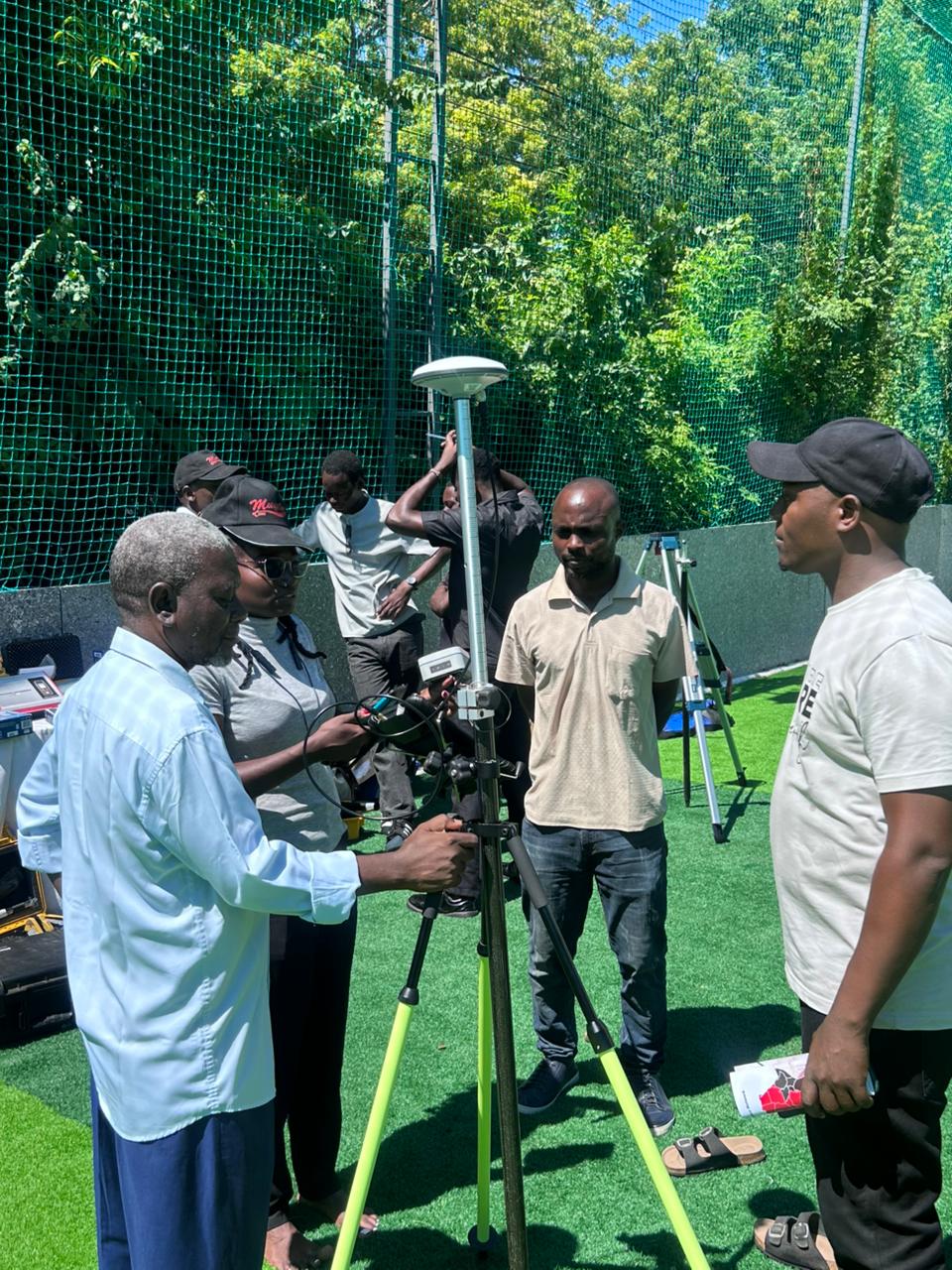
Professional field operations — training, set-outs and live survey support.
Real topographic and cadastral mapping from Uprise Surveyors Ltd projects.


Survey-grade RTK / GNSS accuracy for boundaries you can trust
Based in Meru Town, Uprise Surveyors Ltd combines modern instrumentation with deep knowledge of Kenyan land administration — from field surveys to registry and ArdhiSasa workflows.
We serve private owners, developers, valuers and institutions who need clear documentation, precise measurements and dependable turnaround.
Transparent steps from first enquiry to final deliverables.
Tell us about your land, project or documentation need. We advise the right scope.
Field work with RTK/GNSS, total station or levels as the job requires.
Plans, reports, registry forms, ArdhiSasa and title-related paperwork prepared carefully.
You receive accurate outputs ready for registration, construction or valuation.
Our main office is in Meru Town. Call, email or send a project enquiry and we will respond promptly.
Describe your project and we will get back to you.